Conservation GIS Center Home

Category

Conservation Practice

6 articles

Divided Range: How America's Highway System Functions as a Continental-Scale Wildlife Barrier

Divided Range: How America's Highway System Functions as a Continental-Scale Wildlife Barrier

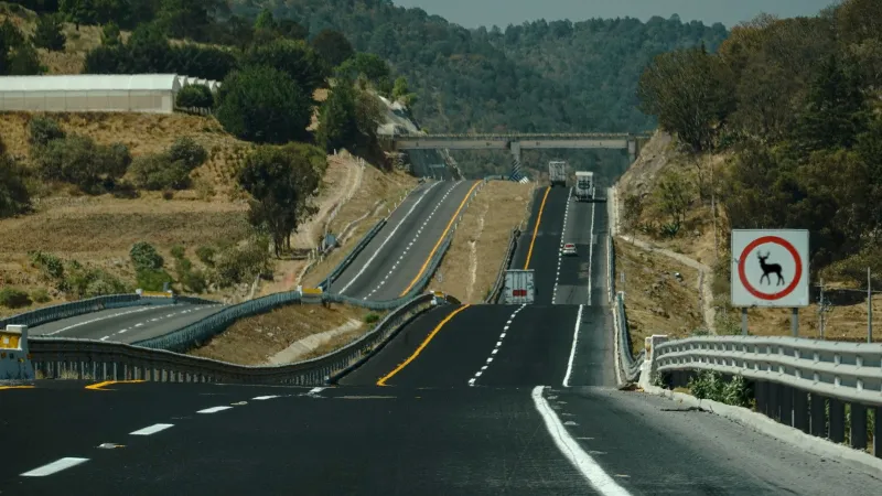
Geospatial analysis of road networks, traffic density data, and wildlife genetics is reframing how conservation scientists understand the American highway system — not as a neutral feature of the built environment, but as an active ecological force that silently partitions mammal populations across the continent. The evidence emerging from GIS-guided research reveals that roads function as semi-permeable barriers whose effects accumulate across generations, reducing genetic diversity and populat

Routed Around: What GIS Mapping of Federal Infrastructure Decisions Reveals About Tribal Lands and Structural Invisibility

A growing body of geospatial analysis is documenting a counterintuitive pattern in federal infrastructure development: major transportation and energy corridors frequently appear to route around the boundaries of tribal territories rather than through them. Whether this reflects meaningful federal protection, historical dispossession, or a more complex form of institutional invisibility is a question that GIS data alone cannot fully answer—but that it is uniquely positioned to sharpen. Tribal pl

Choke Points: How Spatial Analysis Is Exposing the Breaks in America's Wildlife Movement Networks

Habitat fragmentation has reduced many of North America's most important wildlife movement routes to narrow, perilous threads—and the populations that depend on them are showing the strain. Conservation teams are now using GIS-based spatial analysis to identify precisely where these corridors are failing, enabling targeted interventions such as wildlife crossings, strategic land acquisition, and vegetation restoration that can restore functional connectivity before species reach demographic coll

Islands No More: Why GIS Science Is Proving That Connected Landscapes Save Wildlife Where Protected Parks Alone Cannot

Decades of conservation strategy built around the creation of protected reserves is being fundamentally challenged by a growing body of geospatial evidence. GIS analysis of landscape connectivity reveals that isolated nature reserves—however large and well-managed—are failing to sustain viable wildlife populations across a broad range of species. The science increasingly points toward a different model: strategically mapped, connected networks of habitat that allow animals to move, adapt, and su

Parks for Whom? GIS Analysis Exposes Deep Inequities in Urban Green Space Access Across American Cities

Across the United States, access to parks, urban forests, and green infrastructure is not distributed by geography alone—it follows the contours of race and income with troubling consistency. New GIS-based analyses are making that pattern visible at the neighborhood level, giving city planners, advocates, and residents the spatial evidence they need to demand change. Some cities are already leading the way, and their strategies offer a replicable model for communities still fighting for equitabl

Bringing Back the Land: Eight Rewilding Projects That GIS Data Shows Are Actually Working

Bringing Back the Land: Eight Rewilding Projects That GIS Data Shows Are Actually Working

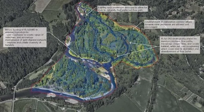
Across the United States, a quiet revolution in land stewardship is unfolding one watershed, prairie, and forest stand at a time. Geographic information systems are providing scientists and land managers with the tools to measure, verify, and replicate habitat restoration successes with unprecedented precision. This feature profiles eight standout rewilding initiatives — from Florida's coastal marshes to Montana's grasslands — and examines the spatial data that confirms their ecological impact.